ArcGIS GeoService
Dataset description:
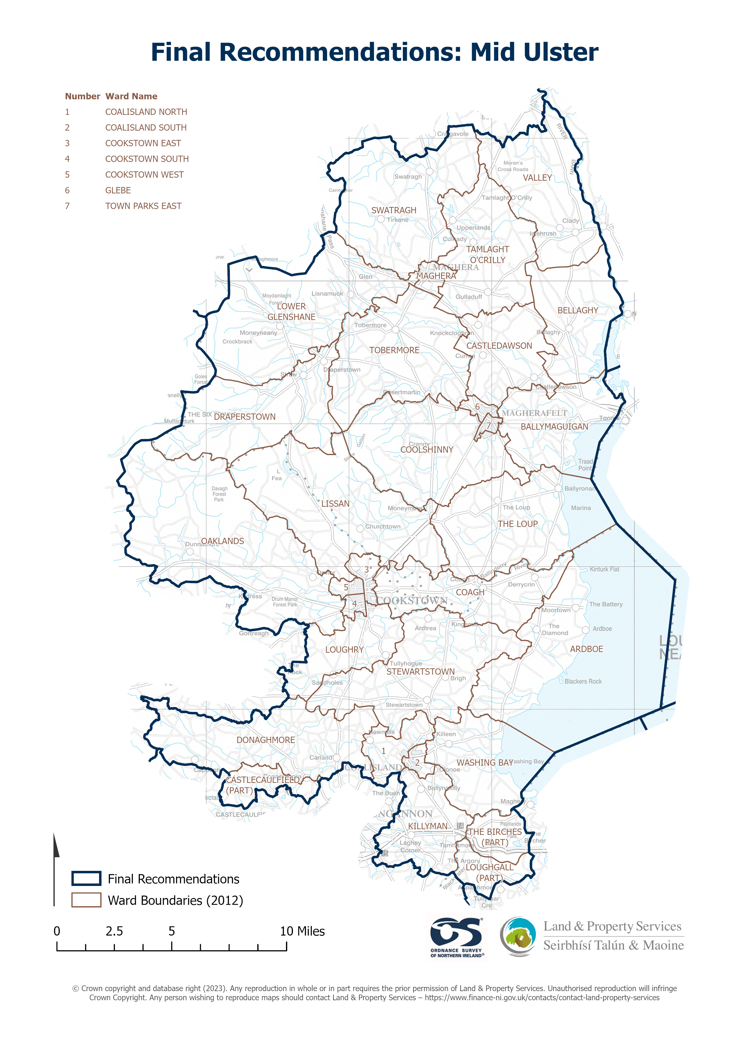
Raster download of Parliamentary Constituency 2023 of Mid Ulster. The OSNI Large-scale Parliamentary Constituencies boundaries is a dataset consisting of official boundaries as agreed by...
Source: OSNI OpenData - Parliamentary Constituencies 2023 - Mid Ulster
There are no views created for this resource yet.
Additional Information
| Field | Value |
|---|---|
| Data last updated | 18 August 2025 |
| Metadata last updated | 18 August 2025 |
| Created | 18 August 2025 |
| Format | JSON |
| Licence | UK Open Government Licence (OGL) |
| Access url | https://docs.spatialni.gov.uk/OpenData/OSNIOpenData_ParliamentaryConstituencies2023/PC2023_Mid_Ulster.png |
| Datastore active | False |
| Distribution ref | Ndd9d183029e7492493e242f8a6869788 |
| Has views | False |
| Id | ef00ae9a-74f9-426b-b9b3-dc6902f01139 |
| Mimetype | application/json |
| Package id | c878a691-25a5-482e-af52-713c45b41135 |
| Position | 1 |
| Requested | False |
| State | active |