ArcGIS GeoService
Dataset description:
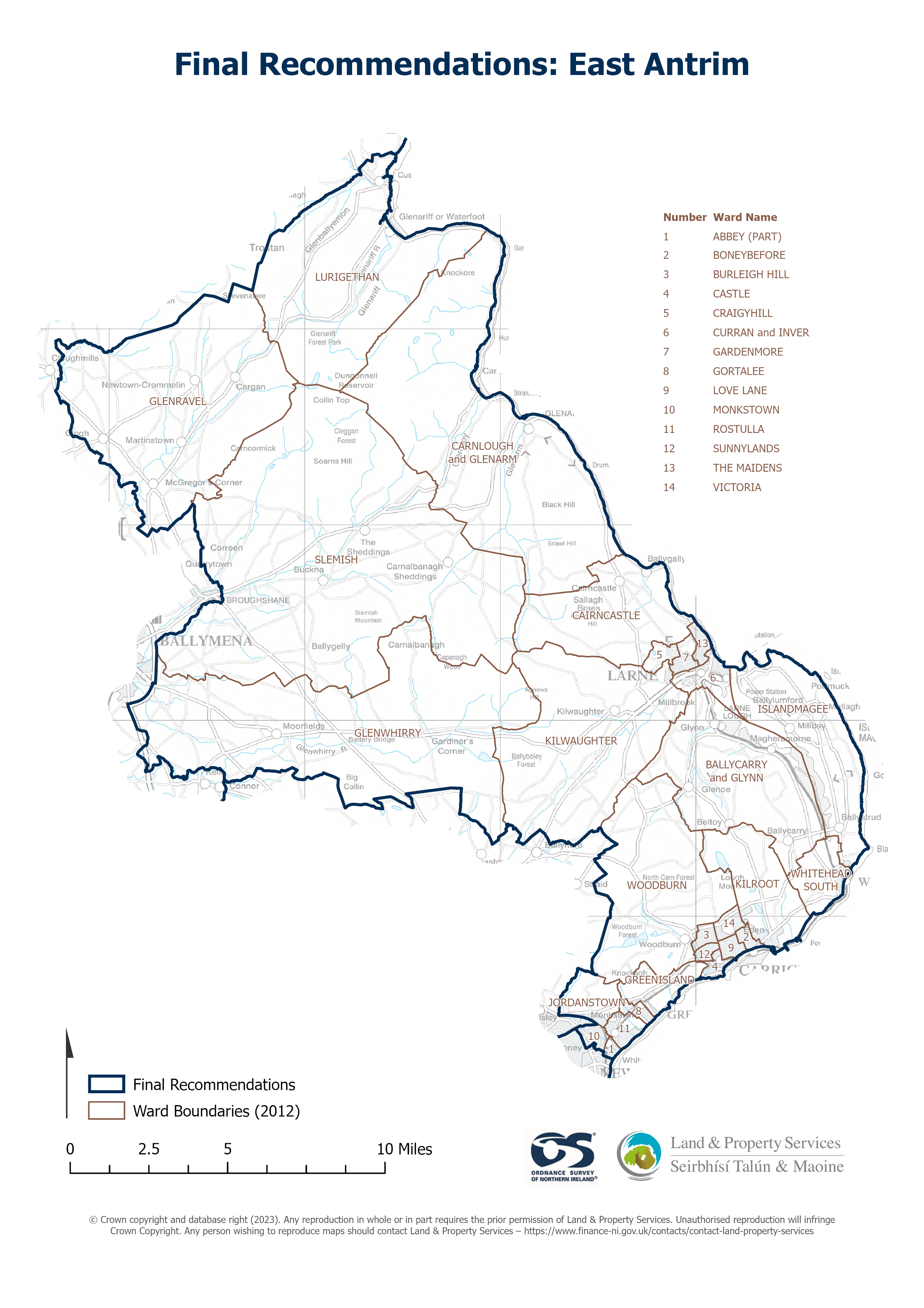
Raster download of Parliamentary Constituency 2023 of East Antrim. The OSNI Large-scale Parliamentary Constituencies boundaries is a dataset consisting of official boundaries as agreed by...
Source: OSNI OpenData - Parliamentary Constituencies 2023 - East Antrim
There are no views created for this resource yet.
Additional Information
| Field | Value |
|---|---|
| Data last updated | 25 August 2025 |
| Metadata last updated | 25 August 2025 |
| Created | 25 August 2025 |
| Format | JSON |
| Licence | UK Open Government Licence (OGL) |
| Access url | https://docs.spatialni.gov.uk/OpenData/OSNIOpenData_ParliamentaryConstituencies2023/PC2023_East_Antrim.png |
| Datastore active | False |
| Distribution ref | N78a34060e4614ad48440139562b92a2f |
| Has views | False |
| Id | dd94f981-7cd4-41c7-a23b-847f1ee63d22 |
| Mimetype | application/json |
| Package id | ab7ffadf-6fb6-498d-be83-f1f4285d8bdb |
| Position | 1 |
| Requested | False |
| State | active |