ArcGIS GeoService
Dataset description:
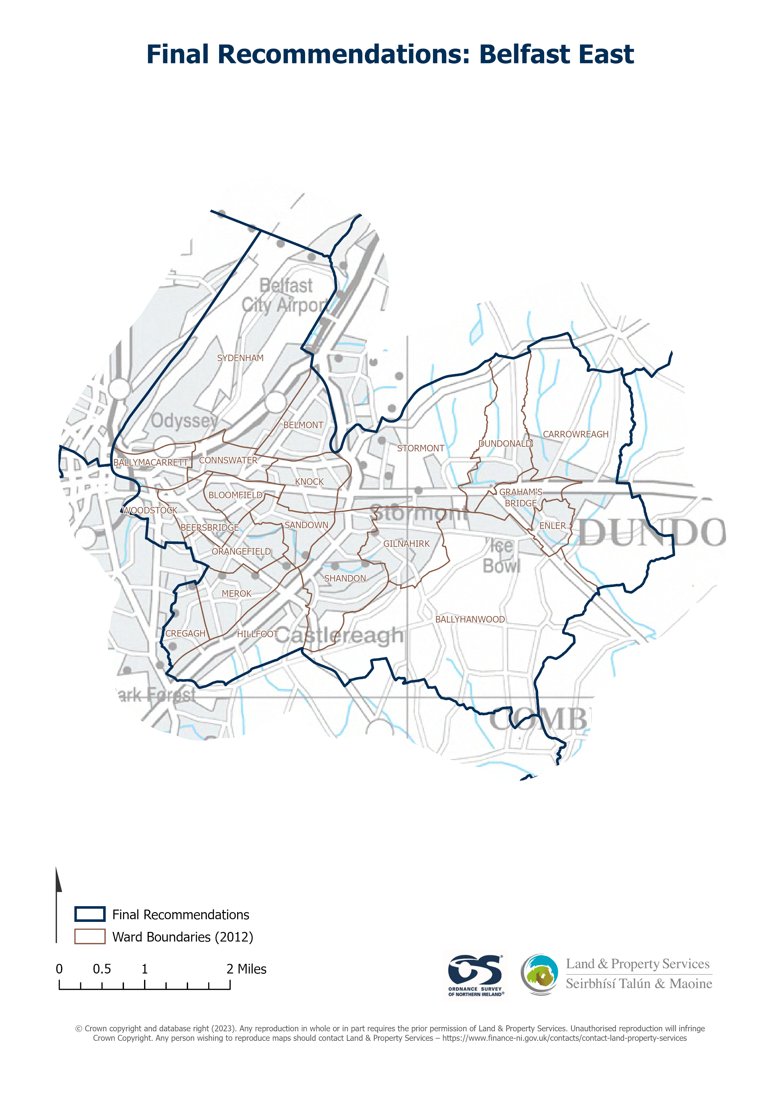
Raster download of Parliamentary Constituency 2023 of Belfast East. The OSNI Large-scale Parliamentary Constituencies boundaries is a dataset consisting of official boundaries as agreed...
Source: OSNI OpenData - Parliamentary Constituencies 2023 - Belfast East
There are no views created for this resource yet.
Additional Information
| Field | Value |
|---|---|
| Data last updated | 18 August 2025 |
| Metadata last updated | 18 August 2025 |
| Created | 18 August 2025 |
| Format | JSON |
| Licence | UK Open Government Licence (OGL) |
| Access url | https://docs.spatialni.gov.uk/OpenData/OSNIOpenData_ParliamentaryConstituencies2023/PC2023_Belfast_East.png |
| Datastore active | False |
| Distribution ref | Nc890a328a964485b8f7dedb56fe0139f |
| Has views | False |
| Id | 1a71ce88-ae67-43c7-a98a-b79b59e6eeb8 |
| Mimetype | application/json |
| Package id | e7101207-5639-46ac-891f-47da37bd4bfe |
| Position | 1 |
| Requested | False |
| State | active |